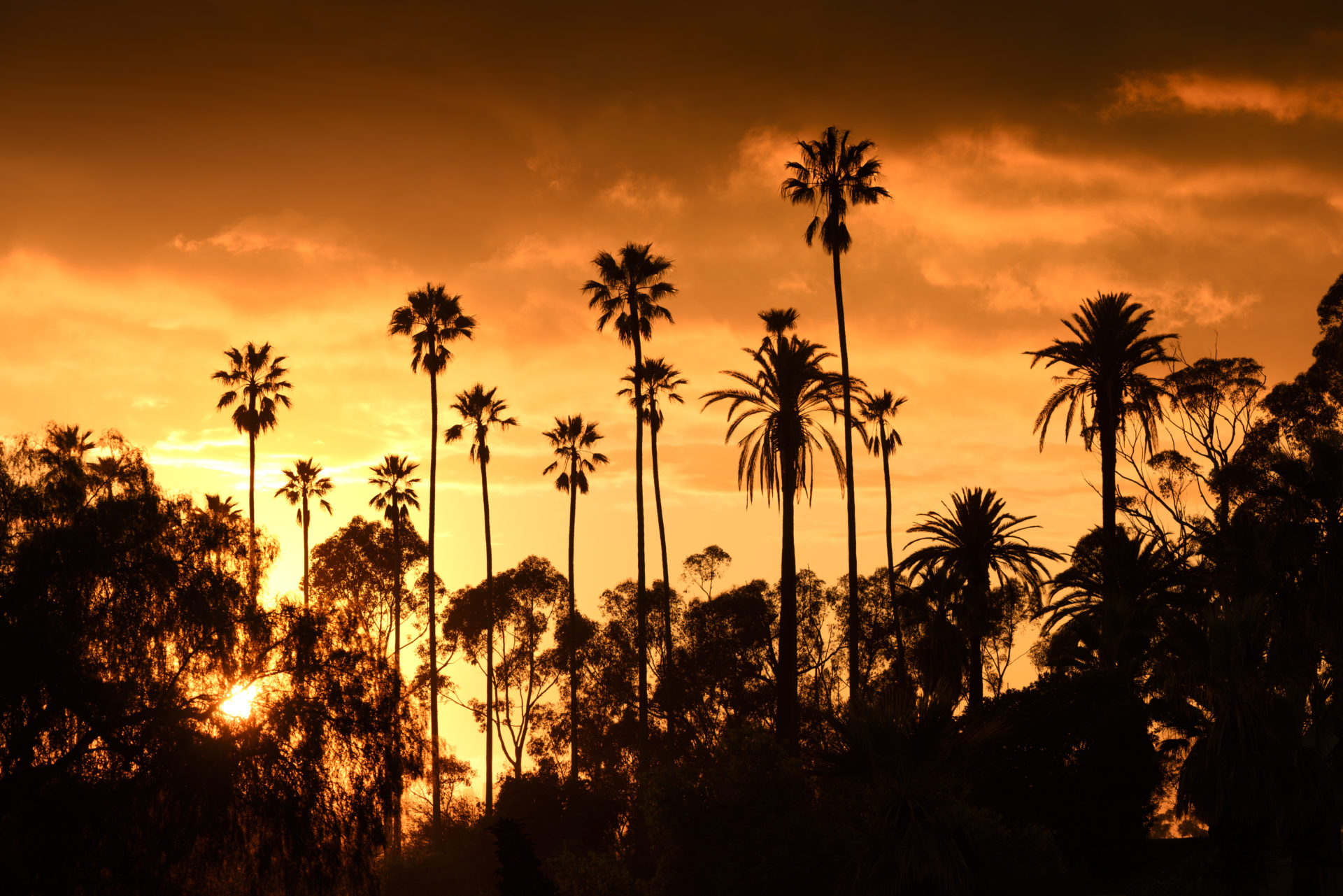
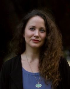
 This week the Chief Sustainability Office issued a data-rich study about which L.A. neighborhoods are most vulnerable to 5 severe climate hazards — both today and by 2050. Here, Alison Frazzini, a County sustainability advisor and lead manager on the Climate Vulnerability Assessment, offers her take on how the findings can help us become more resilient to the impacts sure to come.
What is the purpose of the study?
We conducted the study in order to get a detailed understanding of what and who within L.A. County are at greatest risk of harm due to climate change. With that knowledge, we can drive action with an equity lens. There’s a lot of existing research showing that we can expect a more severe climate in the future, and that certain people and types of infrastructure are highly susceptible to climate hazards. But no one had done a local analysis of which highly susceptible people and facilities are likely to be exposed to these hazards and how that might affect them. This information will be crucial to taking actions to lessen potential harm.
Which neighborhoods are most at risk?
In the report, we highlight 47 communities of concern that are likely to experience one or more climate hazards and where many of the residents are susceptible to those hazards. That includes places like Santa Clarita, which is at high risk of exposure to extreme heat and has a high proportion of older adults living alone. We also identify some communities like East L.A., where even a more moderate level of exposure is going to be magnified by community conditions, such as a lack of greenery that can help reduce ground temperatures. However, these are not the only highly vulnerable spots throughout the County; people can visit our mapping tool to find out how their local community fares.
Which of the climate hazards should be worrying about the most?
Extreme heat is by far the most prevalent climate hazard in L.A. County, and national studies have shown that it causes more deaths annually than any other climate-related hazard. It is already causing severe damage to the economy, estimated at $100 billion nationally in 2020. There is a very real, immediate need to take steps today that will better prepare us for extreme heat events that will occur. That said: flooding occurs less frequently but can be devastating, especially when it happens in dense urban areas. Wildfires tend to occur in sparsely-populated areas, but smoke from those fires affects health and quality of life for many people, with 40% of LA County residents having reported that they avoided going outside at one time or another due to wildfire smoke. And droughts not only create the risk that some communities could lose access to clean drinking water; by drying out local vegetation and soil, they actually make wildfires more likely to occur and floods more likely to cause damage. We really need to be working on all of these issues.
And do they dovetail with each other? Is there a multiplier effect?
Yes, but it’s hard to measure. We do know that compound climate events may have consequences beyond those of a single climate event. For example, wildfire smoke and extreme heat are both harmful to people with respiratory problems, and they may create even more risk when they occur at the same time.
It’s also worth noting that every single climate hazard we examined has the potential to impact air quality, either indoor or outdoors. Beyond the most visible air pollution caused by wildfire smoke, we can also expect more smog due to more extreme heat, more dust in high desert areas because of drought, and more fungus in indoor air when flooding occurs. All of these issues will harm people with respiratory and heart conditions the most, and people living near industrial areas or highways where these conditions are already prevalent due to pollution. This makes it all the more important that we double down on efforts to clean the air.
Why is there such strong correlation between socio-economic status and climate vulnerability?
Many of the resources that can help a person or community withstand and adapt to climate hazards are privately owned, rather than offered or subsidized as a public good. This includes things like trees on private property that provide shade and help keep buildings cool, air filters which help maintain healthy conditions inside the home despite wildfire smoke outdoors, or ham radios which make it possible to communicate even if cell towers go down. People who can’t pay for, or do not already own, these resources are going to have a harder time during climate events. And because of our history of structural racism that has linked race to socioeconomic status, people of color face a disproportionate amount of this economically-driven burden.
What can those neighborhoods do? Is too late for them, or can we make an impact?
Nobody is doomed, but we do need to use this knowledge to prepare our communities that are likely to come. We can use public resources to adapt our environments and fund services and activities that will reduce the impact of climate hazards — such as planting and maintaining trees in public streets and parks, directly providing supplies or information to help highly vulnerable individuals manage imminent risks, and in certain cases, helping people relocate to safer areas. We can also change public policies so that the private sector helps out here too. We just need the political will to do so.
What surprised you most about the study’s findings?
We were surprised to learn from community members that some of the riskiest jobs aren’t outdoors. When we think of workers who are vulnerable to climate hazards, we often think of farm laborers out in the sun all day. But many people in L.A. County work jobs in places like a warehouse or an indoor carwash where temperatures can get even higher than the outside. And service workers whose jobs ordinarily take place indoors are sometimes expected to handle dangerous tasks such as protecting their employers’ homes from fire and cleaning up debris.
But we were also inspired to hear about the creative and compassionate ways in which local organizations and community members are already helping each other through climate hazards, like the labor organizers who use mobile apps to send messages about upcoming hazards and how to stay safe, and neighbors who knock on each other’s doors to help evacuate pets. We need to find ways to support and help amplify these types of efforts.
How did the expert team make the conclusions that they did? What was the methodology?
The project team worked with downscaled global climate models to see how the climate will likely change across the county, and drew from existing literature and expert insights to understand how people and facilities are sensitive to those changes. We used best practices developed by state and national leaders as well as new qualitative methodology, for an innovative mixed-method approach that uplifts the voices and experiences of frequently excluded, highly vulnerable groups.
What are next steps with the study? How do we put it to good use?
We’re encouraging local officials to use our data and mapping tool when developing or updating local plans and ordinances. Community members should hold their local officials accountable for preparing for climate hazards, because with the information we’re sharing, no one can claim they didn’t know the stakes. And people can also use our mapping tool to see what risks they face in their own neighborhood, which can help them figure out how to prepare their families and neighbors. Parents can ask their school boards if they are prepared, businesses can look over the numbers with their insurers, and so much more.

This week the Chief Sustainability Office issued a data-rich study about which L.A. neighborhoods are most vulnerable to 5 severe climate hazards — both today and by 2050. Here, Alison Frazzini, a County sustainability advisor and lead manager on the Climate Vulnerability Assessment, offers her take on how the findings can help us become more resilient to the impacts sure to come.
What is the purpose of the study?
We conducted the study in order to get a detailed understanding of what and who within L.A. County are at greatest risk of harm due to climate change. With that knowledge, we can drive action with an equity lens. There’s a lot of existing research showing that we can expect a more severe climate in the future, and that certain people and types of infrastructure are highly susceptible to climate hazards. But no one had done a local analysis of which highly susceptible people and facilities are likely to be exposed to these hazards and how that might affect them. This information will be crucial to taking actions to lessen potential harm.
Which neighborhoods are most at risk?
In the report, we highlight 47 communities of concern that are likely to experience one or more climate hazards and where many of the residents are susceptible to those hazards. That includes places like Santa Clarita, which is at high risk of exposure to extreme heat and has a high proportion of older adults living alone. We also identify some communities like East L.A., where even a more moderate level of exposure is going to be magnified by community conditions, such as a lack of greenery that can help reduce ground temperatures. However, these are not the only highly vulnerable spots throughout the County; people can visit our mapping tool to find out how their local community fares.
Which of the climate hazards should be worrying about the most?
Extreme heat is by far the most prevalent climate hazard in L.A. County, and national studies have shown that it causes more deaths annually than any other climate-related hazard. It is already causing severe damage to the economy, estimated at $100 billion nationally in 2020. There is a very real, immediate need to take steps today that will better prepare us for extreme heat events that will occur. That said: flooding occurs less frequently but can be devastating, especially when it happens in dense urban areas. Wildfires tend to occur in sparsely-populated areas, but smoke from those fires affects health and quality of life for many people, with 40% of LA County residents having reported that they avoided going outside at one time or another due to wildfire smoke. And droughts not only create the risk that some communities could lose access to clean drinking water; by drying out local vegetation and soil, they actually make wildfires more likely to occur and floods more likely to cause damage. We really need to be working on all of these issues.
And do they dovetail with each other? Is there a multiplier effect?
Yes, but it’s hard to measure. We do know that compound climate events may have consequences beyond those of a single climate event. For example, wildfire smoke and extreme heat are both harmful to people with respiratory problems, and they may create even more risk when they occur at the same time.
It’s also worth noting that every single climate hazard we examined has the potential to impact air quality, either indoor or outdoors. Beyond the most visible air pollution caused by wildfire smoke, we can also expect more smog due to more extreme heat, more dust in high desert areas because of drought, and more fungus in indoor air when flooding occurs. All of these issues will harm people with respiratory and heart conditions the most, and people living near industrial areas or highways where these conditions are already prevalent due to pollution. This makes it all the more important that we double down on efforts to clean the air.
Why is there such strong correlation between socio-economic status and climate vulnerability?
Many of the resources that can help a person or community withstand and adapt to climate hazards are privately owned, rather than offered or subsidized as a public good. This includes things like trees on private property that provide shade and help keep buildings cool, air filters which help maintain healthy conditions inside the home despite wildfire smoke outdoors, or ham radios which make it possible to communicate even if cell towers go down. People who can’t pay for, or do not already own, these resources are going to have a harder time during climate events. And because of our history of structural racism that has linked race to socioeconomic status, people of color face a disproportionate amount of this economically-driven burden.
What can those neighborhoods do? Is too late for them, or can we make an impact?
Nobody is doomed, but we do need to use this knowledge to prepare our communities that are likely to come. We can use public resources to adapt our environments and fund services and activities that will reduce the impact of climate hazards — such as planting and maintaining trees in public streets and parks, directly providing supplies or information to help highly vulnerable individuals manage imminent risks, and in certain cases, helping people relocate to safer areas. We can also change public policies so that the private sector helps out here too. We just need the political will to do so.
What surprised you most about the study’s findings?
We were surprised to learn from community members that some of the riskiest jobs aren’t outdoors. When we think of workers who are vulnerable to climate hazards, we often think of farm laborers out in the sun all day. But many people in L.A. County work jobs in places like a warehouse or an indoor carwash where temperatures can get even higher than the outside. And service workers whose jobs ordinarily take place indoors are sometimes expected to handle dangerous tasks such as protecting their employers’ homes from fire and cleaning up debris.
But we were also inspired to hear about the creative and compassionate ways in which local organizations and community members are already helping each other through climate hazards, like the labor organizers who use mobile apps to send messages about upcoming hazards and how to stay safe, and neighbors who knock on each other’s doors to help evacuate pets. We need to find ways to support and help amplify these types of efforts.
How did the expert team make the conclusions that they did? What was the methodology?
The project team worked with downscaled global climate models to see how the climate will likely change across the county, and drew from existing literature and expert insights to understand how people and facilities are sensitive to those changes. We used best practices developed by state and national leaders as well as new qualitative methodology, for an innovative mixed-method approach that uplifts the voices and experiences of frequently excluded, highly vulnerable groups.
What are next steps with the study? How do we put it to good use?
We’re encouraging local officials to use our data and mapping tool when developing or updating local plans and ordinances. Community members should hold their local officials accountable for preparing for climate hazards, because with the information we’re sharing, no one can claim they didn’t know the stakes. And people can also use our mapping tool to see what risks they face in their own neighborhood, which can help them figure out how to prepare their families and neighbors. Parents can ask their school boards if they are prepared, businesses can look over the numbers with their insurers, and so much more.